How Geography is Important in Understanding the Causes and Impacts of Earthquakes

On this page, we explain how geography is important in understanding the causes and impacts of earthquakes.
Geography is crucial in understanding both the causes and impacts of earthquakes. It helps identify areas at higher risk and the potential severity of impacts on populations and infrastructure.
Understanding the Causes of Earthquakes
Geography provides insight into tectonic settings, which are key to understanding where and why earthquakes occur. The Earth’s crust is divided into tectonic plates that move relative to each other. These movements can be convergent, divergent, or transform, each leading to different types and intensities of earthquakes.
For example, the Pacific Ring of Fire is a geographic area known for its frequent and powerful earthquakes due to the active tectonic boundaries encircling the Pacific Ocean.
Assessing the Impacts of Earthquakes
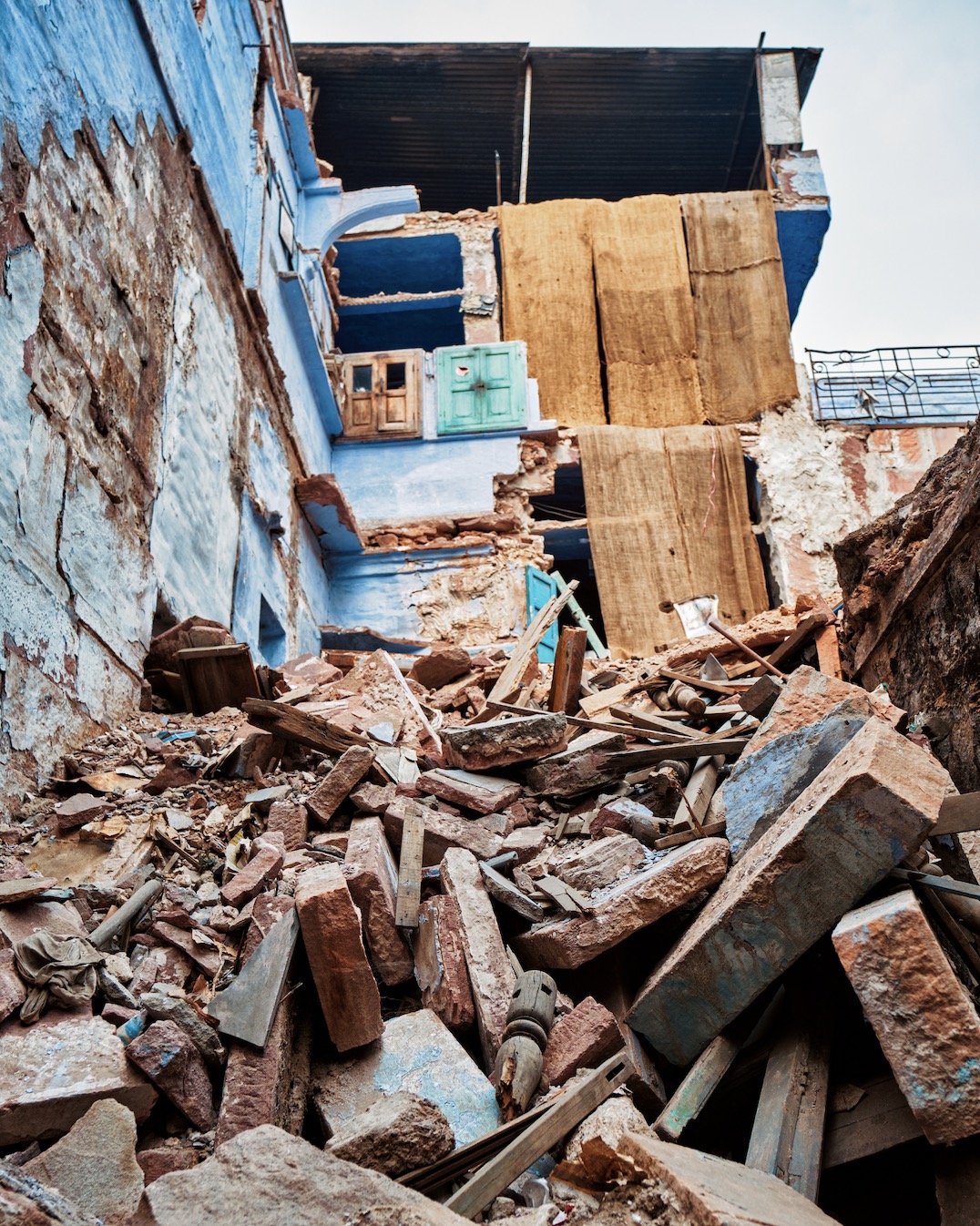
Geography is also essential in assessing the impacts of earthquakes. Population density and the type of land use are critical geographic factors that influence how devastating an earthquake can be. Urban areas with high population density and poorly constructed buildings are more susceptible to severe damage and higher casualties. Additionally, geography can predict secondary effects such as landslides, tsunamis, and soil liquefaction, which depend heavily on the area’s topography and soil composition.
Planning and Mitigation
Understanding the geographic context helps in planning and implementing earthquake mitigation strategies. Mapping fault lines and recognizing earthquake-prone zones enable governments and communities to enforce building codes, develop emergency response strategies, and educate the public about earthquake preparedness. This geographic knowledge is essential for reducing potential damages and enhancing community resilience to earthquakes.
In summary, geography’s role in understanding and managing earthquake risks is indispensable, from pinpointing high-risk zones to informing response strategies and mitigating potential impacts on society and the environment.
