
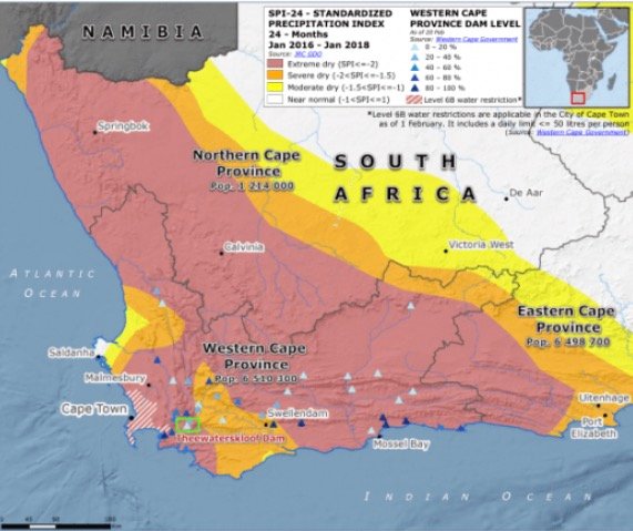
Map of South Africa that indicates the drought-stricken areas
Map of South Africa that indicates the drought-stricken areas:
The below map indicates the areas in South Africa where draught has caused a great water scarcity. The provinces which are mostly severely impacted by the draught are: Western Cape Province, Easter Cape Province, as well as Eastern Cape.
According to the University of Cape Town, Drought severity and inter-annual variability of rainfall are not the only reasons for the water crises in South Africa.
NB: This is for guidance purposes ONLY. Learners should consult their prescribed learning material as a primary for any school assessments. Our content is not a prescribed memorandum, but a general knowledge.
South Africa has experienced multiple drought periods in the past few years. The most notable droughts occurred from 2015-2018, which was considered one of the worst droughts in decades. Several areas in South Africa were severely affected during this period:
- Western Cape: The region, which includes Cape Town, faced a severe water crisis, known as “Day Zero,” when the municipal water supply almost ran out.
- Eastern Cape: The Eastern Cape was another area that faced water shortages, and the agricultural sector was significantly impacted.
- Northern Cape: Prolonged drought conditions affected the province’s agricultural output and forced farmers to reduce their livestock herds.
- Free State: As a major agricultural hub, the Free State faced challenges in crop production and livestock farming due to water scarcity.
- KwaZulu-Natal: Drought affected water supplies and agricultural production, leading to economic challenges in this province.
- Limpopo: The northern regions of Limpopo were particularly affected by drought, with significant negative impacts on crop production and water supply.
It’s important to note that while these are the areas that were mainly affected during the 2015-2018 drought, drought conditions can vary over time. If you are looking for the most up-to-date information on the drought situation in South Africa, it would be best to consult local news sources or government reports.
The below map Map of South Africa indicates the drought-stricken areas as of 2018
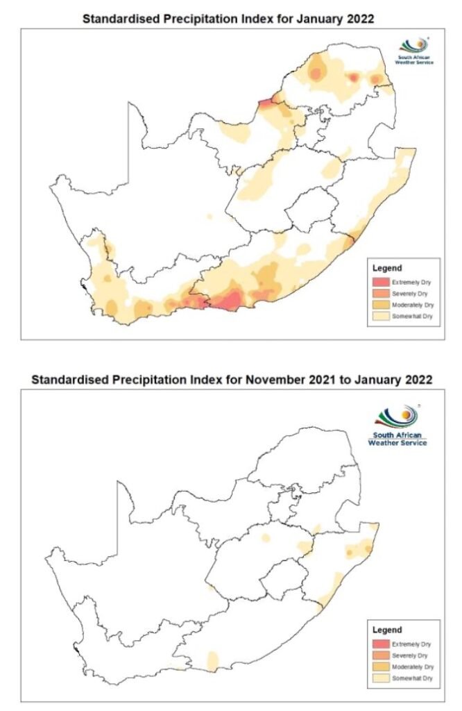
The drought-stricken areas as of 2022
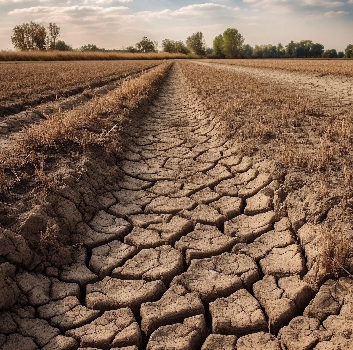
Different types of Droughts in South Africa
Discussion on the different types of droughts in South Africa: Droughts are categorised into four major categories namely:
- agricultural,
- meteorological,
- hydrological and,
- socio-economic drought